Harlow has a huge cycle track network linking up all areas of the town.
Most destinations within Harlow are less than 6 miles from each other, making cycling an ideal way to travel. It is often quicker to cycle than drive, especially during peak times.
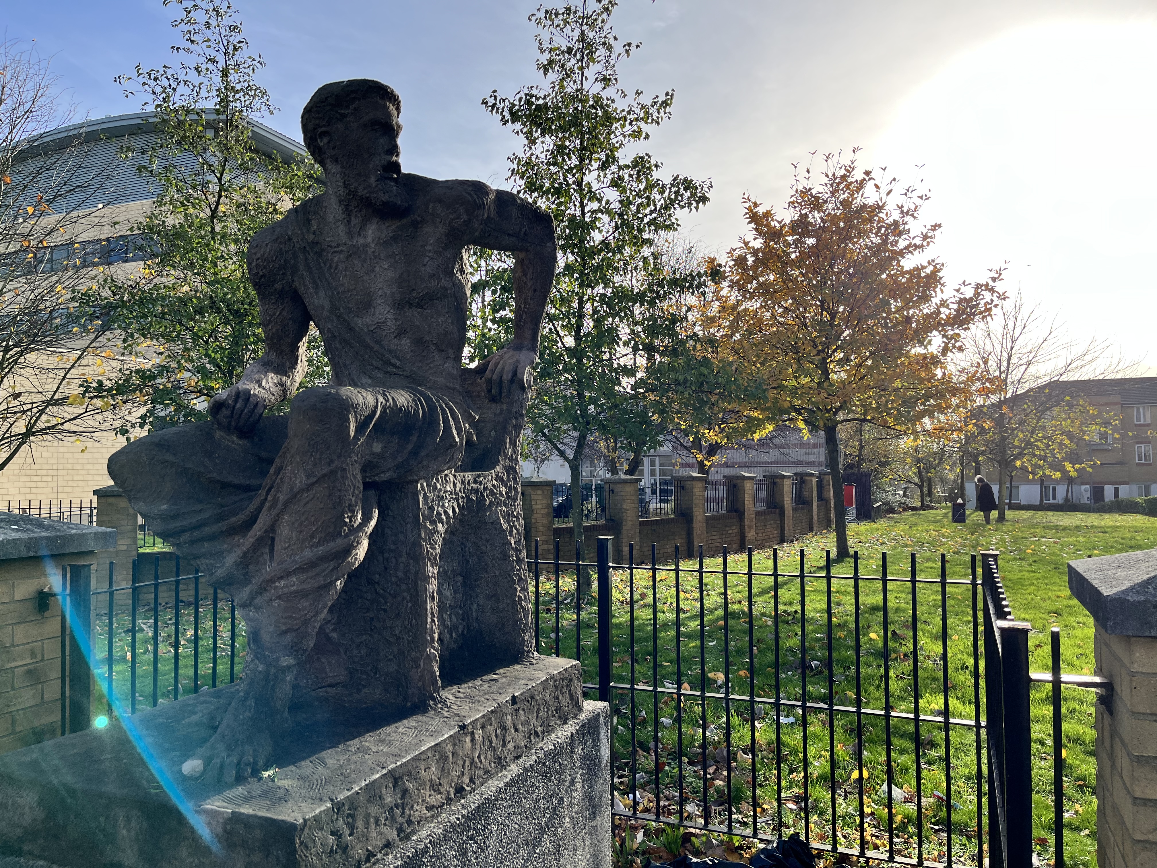
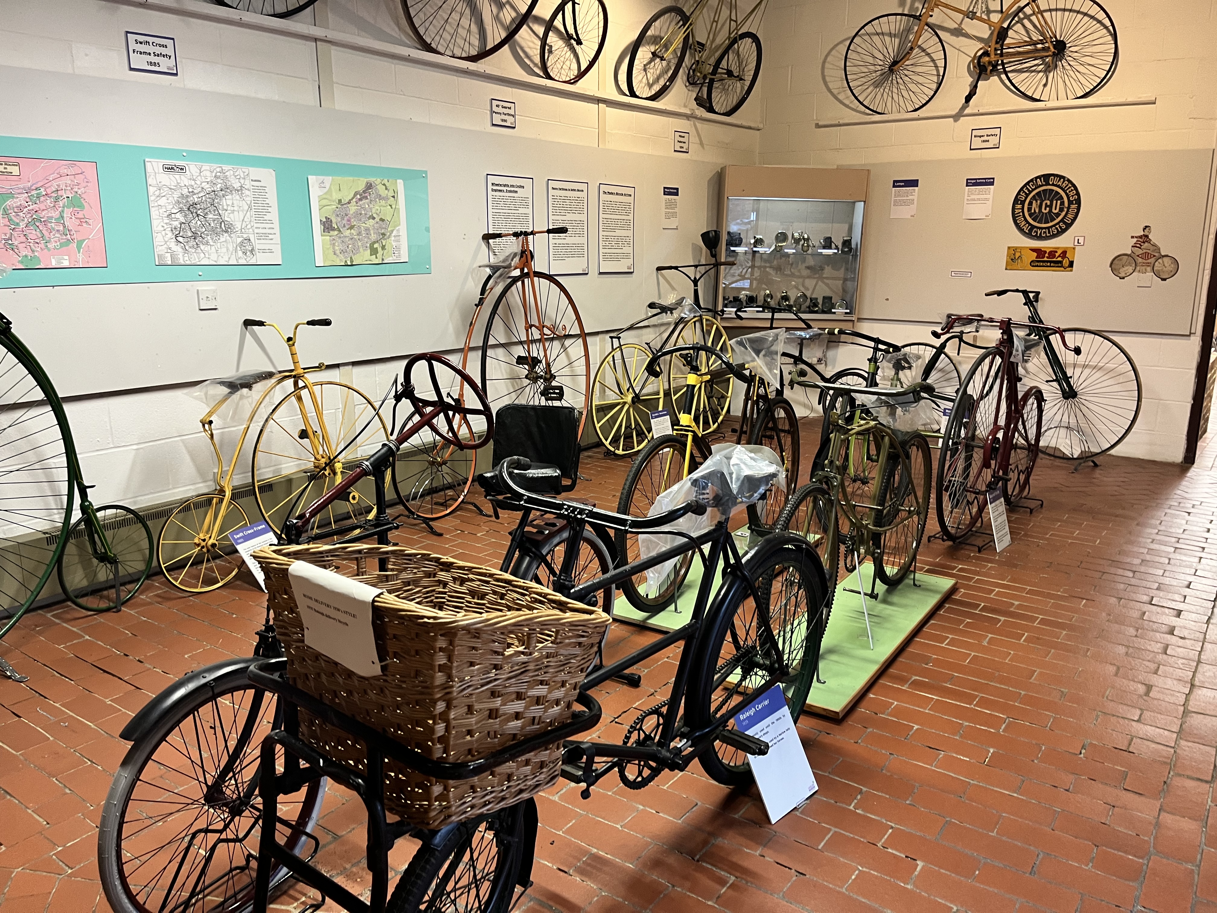
The new cycle map has been developed as part of the Council’s preparation for the Tour of Britain. The updated cycle map includes new developments and routes that were not included on the previous version. Plus, the routes pass some of Harlow’s most notable sculptures and visitor attractions such as Harlow Town Park and Harlow Museum & Walled Gardens.
It is hoped that the map will make it easier for residents and visitors to cycle for leisure or travel which is a great way to lead an active lifestyle.
Printed copies of the map are also available from Contact Harlow in the Civic Centre.

Photography by Brian Thomas.
